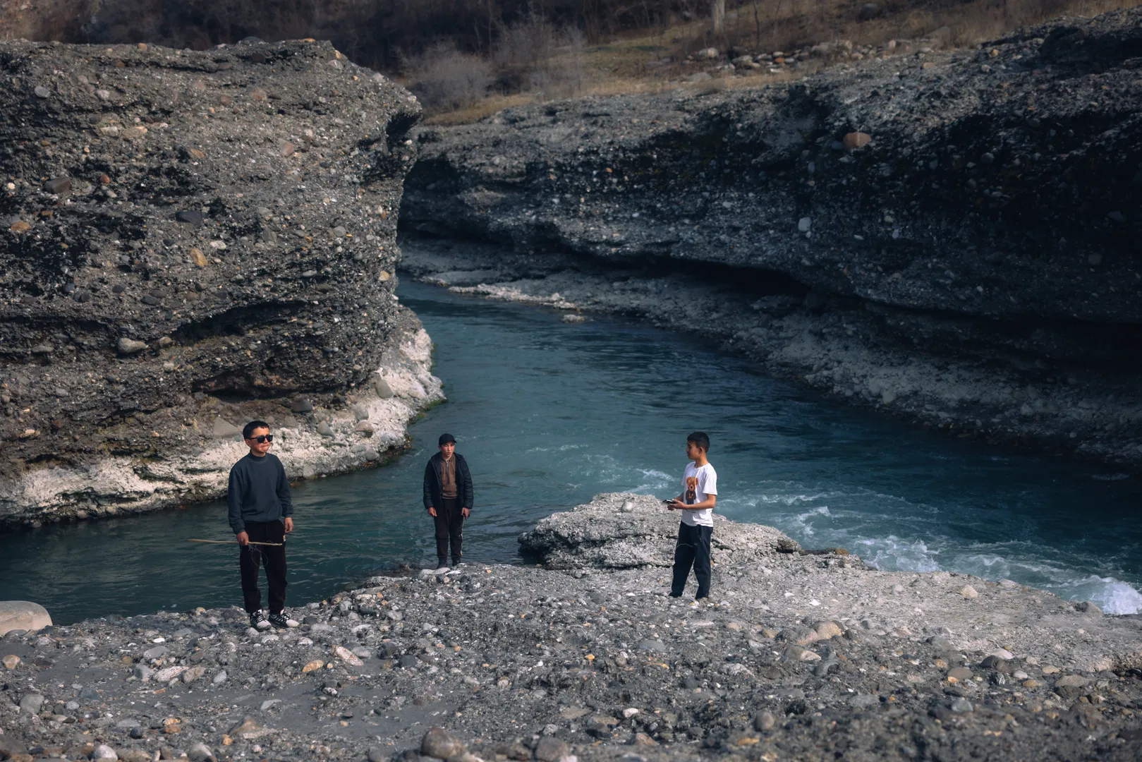
The transformation of the Sokh District from a strategic node along ancient trade routes into an isolated cross-border enclave represents a classic case study in political geography and regional economics. The development of this territory over three millennia demonstrates a direct correlation between demographic and economic processes and the hydrological regime of the Sokh River, which has served as the principal driver of economic growth in the Fergana Valley.
Fed by glacial headwaters, the River Sokh has historically served as the principal life-giving source for the southern reaches of the valley. A steady flow of water throughout the spring and summer months sustained local communities and fostered the development of agrarian culture, laying the foundation for the region's integration into global trade and economic networks.
During the Bronze Age and early Iron Age, the Sokh oasis functioned as a zone of intensive contact between nomadic tribes and the advanced sedentary civilisations of southern Central Asia. Its integration into trade and production networks is attested by remarkable archaeological finds, the most celebrated of which is the so-called "Sokh Amulet," or "Sokh Serpent," dated to the turn of the second and first millennia BCE. This bronze artefact, a ritual ring fashioned in the form of coiled serpents, reflects the cultural and technological connections between the local élite and the Bactria–Margiana Archaeological Complex. The presence of such cultic objects bears witness to a sophisticated metallurgical tradition in Sokh and to early commercial exchange serving the élites of Sogdiana and Bactria.
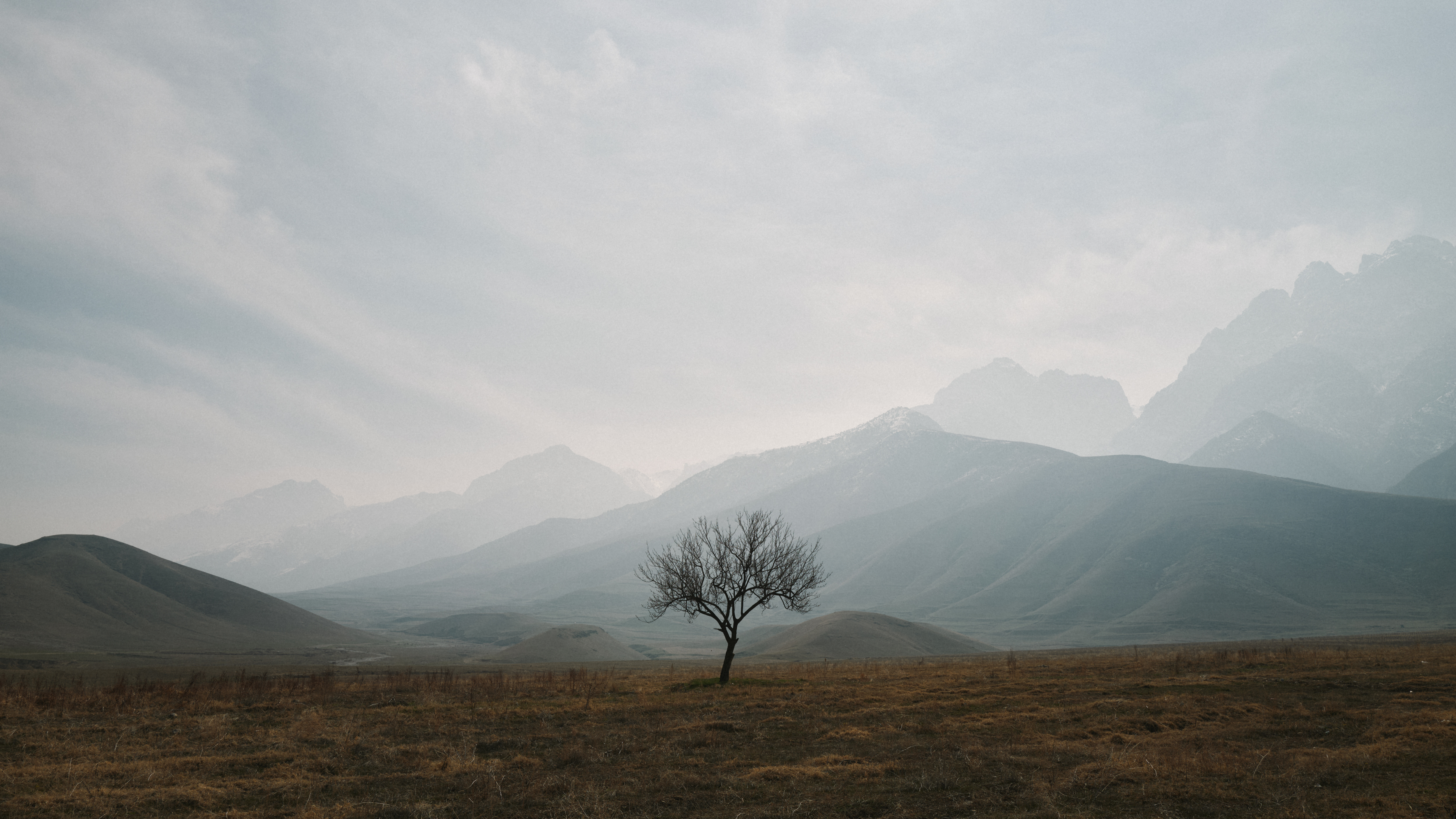
The enduring vitality of any given place has always depended upon the preservation of its collective mentality and sociocultural identity alongside the modernisation of its material and technological base. In the contemporary era, Sokh's original character as a communications hub must be transformed — its trajectory redirected towards overcoming the vulnerabilities inherent in physical isolation and transit dependency, through the capitalisation of intellectual and digital potential, which is not subject to cross-border restrictions.
In antiquity, when the region formed part of the state of Dayuan, Sokh's economy rested upon an oasis irrigation system that was highly efficient for its time, entirely dependent upon the complex topography of the river's drainage. The defining economic feature of that period was the large-scale cultivation of alfalfa across the floodplains and artificially watered terraces.
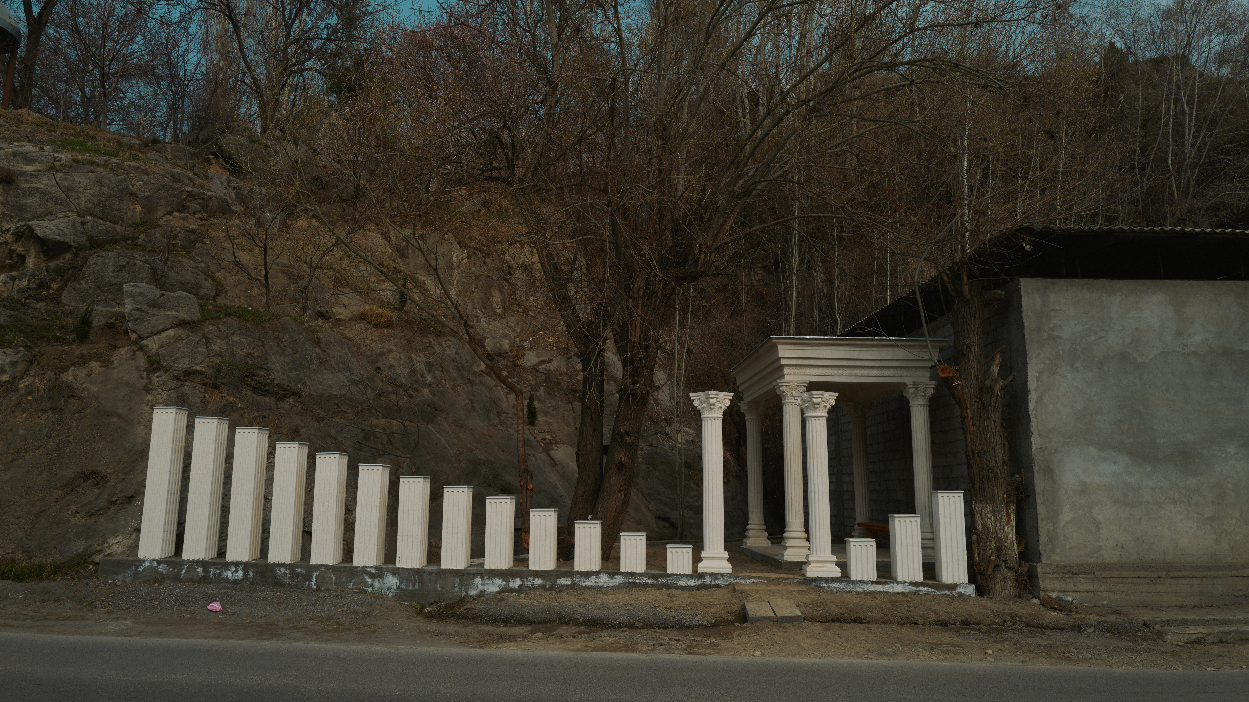 Photo: Sergei Pogosyan
This moisture-demanding crop served as an indispensable fodder base for the breeding of the "heavenly horses" — swift and hardy animals of a distinctive breed. For Han dynasty China, these horses were of paramount strategic and military importance, transforming Sokh into one of the oasis's earliest export-oriented centres. The valley made effective use of its natural, climatic, and water resources through transit trade along the Great Silk Road.
The River Sokh sustained not only local farmers but also the countless caravans that travelled along routes tracing its banks. Through the mountain passes of Karategin, fed by abundant water sources, a steady flow of goods, diplomatic missions, and merchant communities moved in the direction of Badakhshan, India, and China. The river constituted the essential infrastructure without which this stretch of the Silk Road could not have functioned.
 Photo: Ildar Sadykov
In the early sixteenth century, the strategic significance of Sokh as a formidable mountain frontier was recorded by Zahiruddin Muhammad Babur in his celebrated work, the Baburnama. During the internecine wars of that era, the oasis served as a temporary refuge for Babur and his followers.
The territory's new demographic balance took shape in the eighteenth and early nineteenth centuries, during the expansion of the Khanate of Kokand. Cycles of land scarcity and drought in the mountain districts of the Pamir-Alay prompted waves of forced migration among the Tajik-speaking population. The Kokand authorities channelled this migratory flow to colonise the piedmont lands. Settlers were granted temporary tax concessions in exchange for obligations to construct main canals and establish terraced agriculture. This historical episode determined the contemporary ethnodemographic character of Sokh, where ethnic Tajiks constitute a significant proportion of the population.
From the perspective of contemporary water use, a technological shift is now imperative: the traditional flood irrigation method, in which a vast proportion of moisture evaporates or is absorbed by stony ground before reaching the roots, must give way to drip irrigation.
This approach enables the precise metering of water, reducing consumption — a matter of considerable importance for an exclave in the context of cross-border stability. At the same time, the historic terraced relief sculpted by previous generations must be preserved as the cultural foundation of the landscape, with drip irrigation systems introduced across these tiers to protect the soil from erosion and degradation, transforming the challenging mountain terrain into an agricultural cluster.
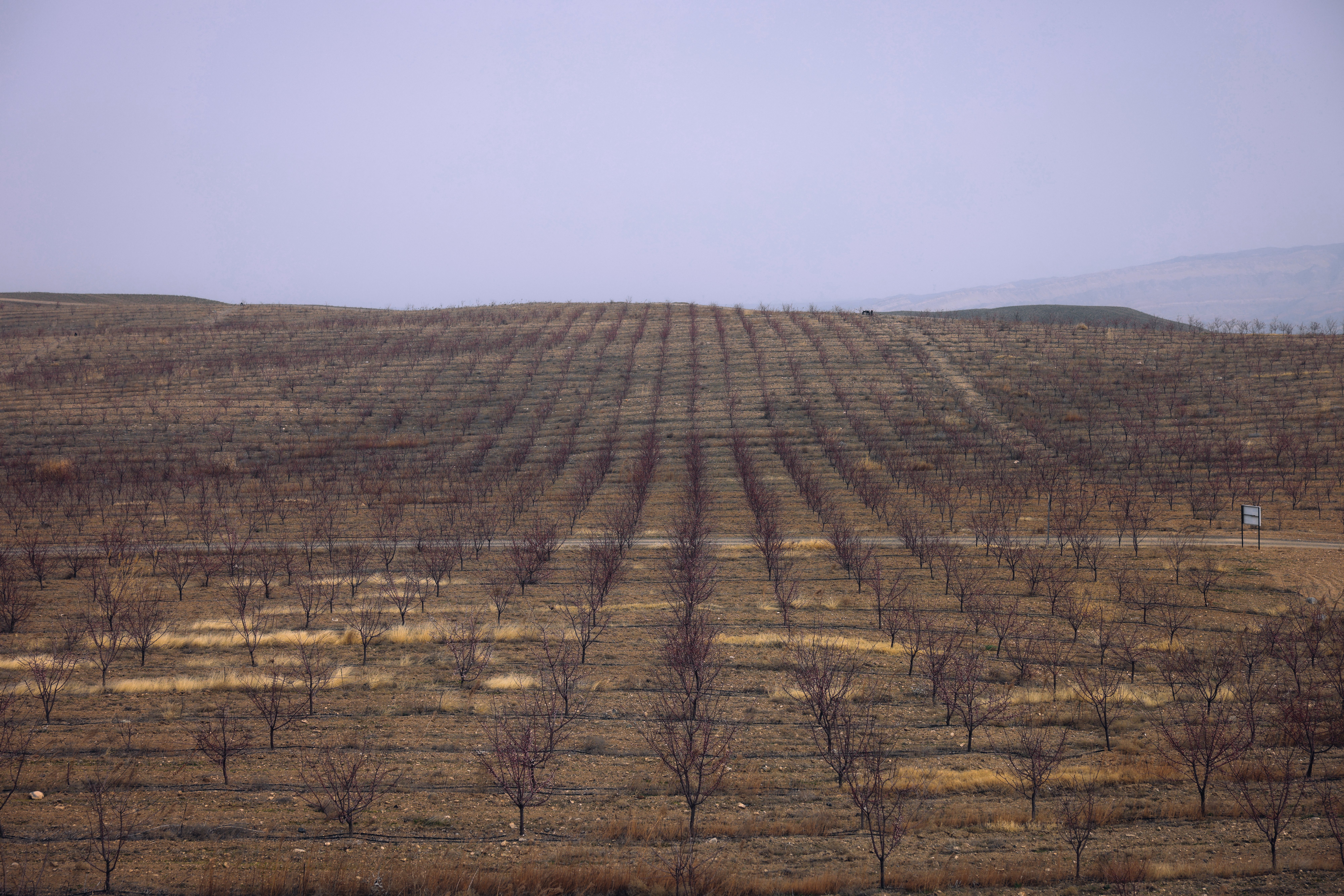 Photo: Ildar Sadykov
The critical juncture in the region's shifting geoeconomic status came during the Soviet period of national-territorial delimitation in the 1920s and 1930s. Administrative boundaries within the USSR were drawn with regard to the economic rationale of a unified national economic complex. The Sokh river valley was divided in such a way that the upland pastures passed to the Kirghiz SSR, whilst the principal irrigation nodes and arable lands were assigned to the Uzbek SSR.
Within the framework of a planned economy and a unified state, this configuration functioned effectively: water resources were accumulated in reservoirs and distributed according to inter-republican quotas. The Soviet-era inhabitant of Sokh possessed the quintessential mentality of a citizen of a single country, for whom the republican boundaries on a map were perceived as a mere formality — people would visit one another's pastures without a second thought about citizenship.
The turning point came after 1991, when administrative boundaries acquired the status of international frontiers, transforming Sokh into an exclave of Uzbekistan entirely surrounded by the territory of Kyrgyzstan's Batken region. The emergence of customs and border controls severed long-established production chains.
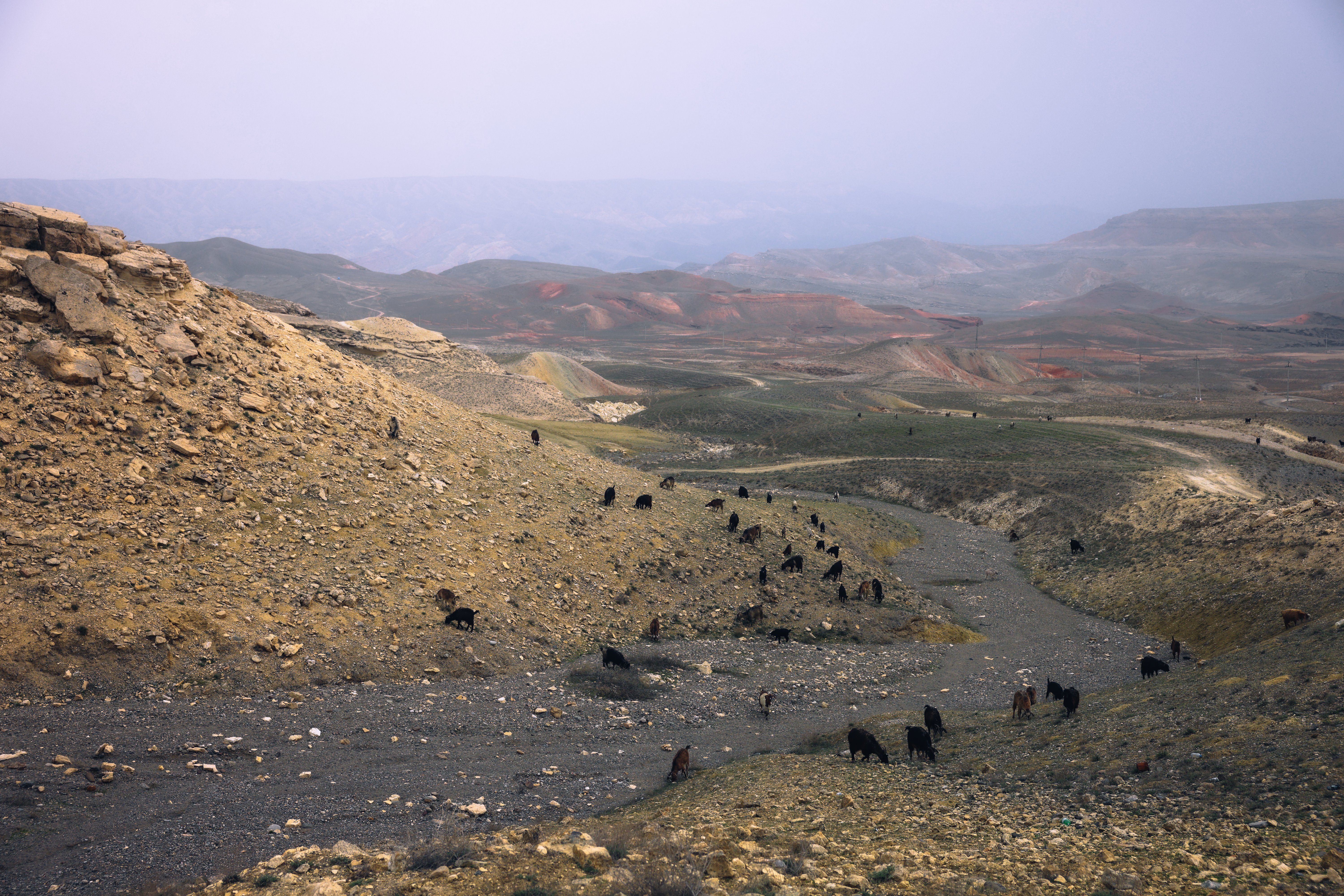
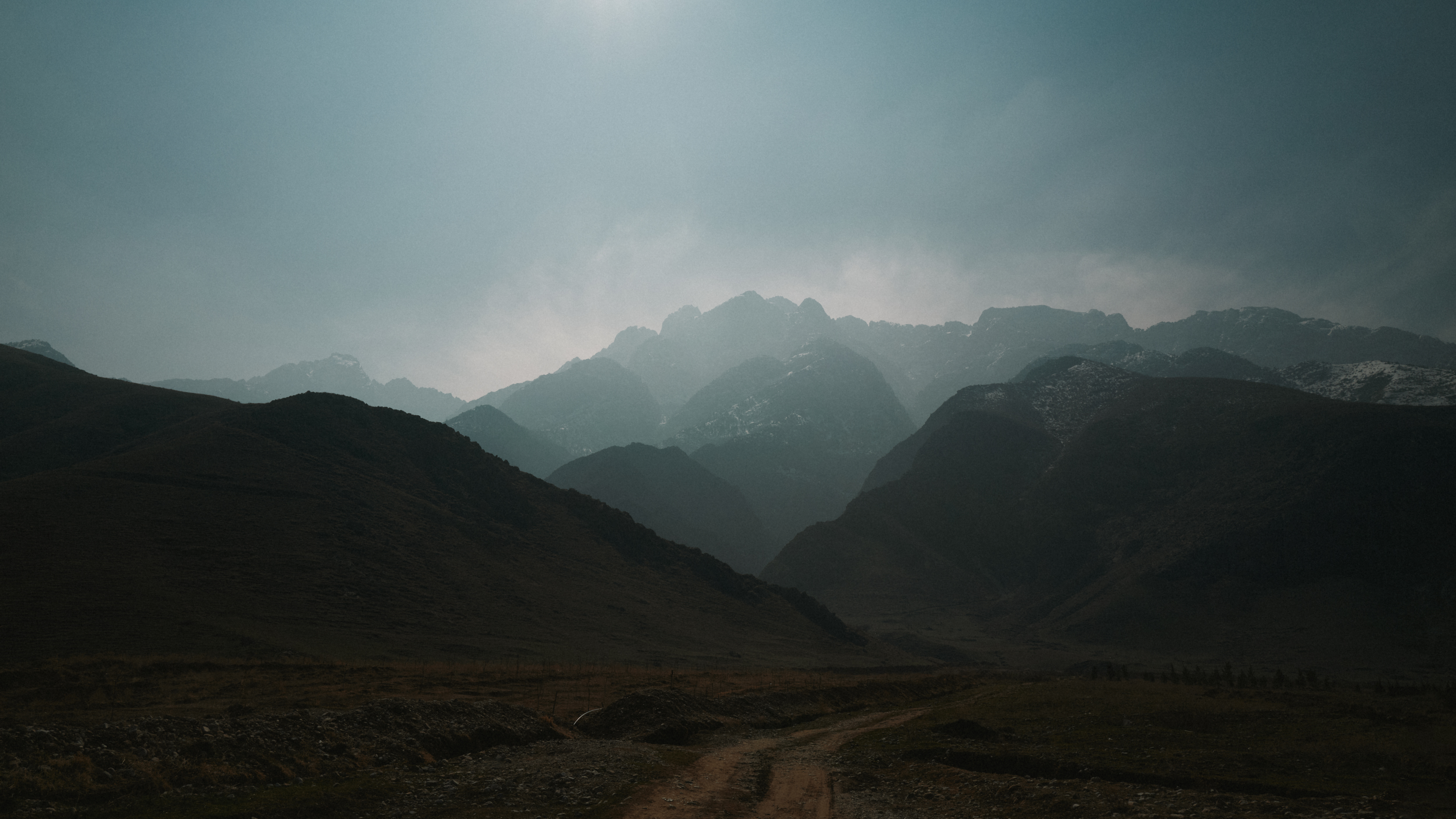
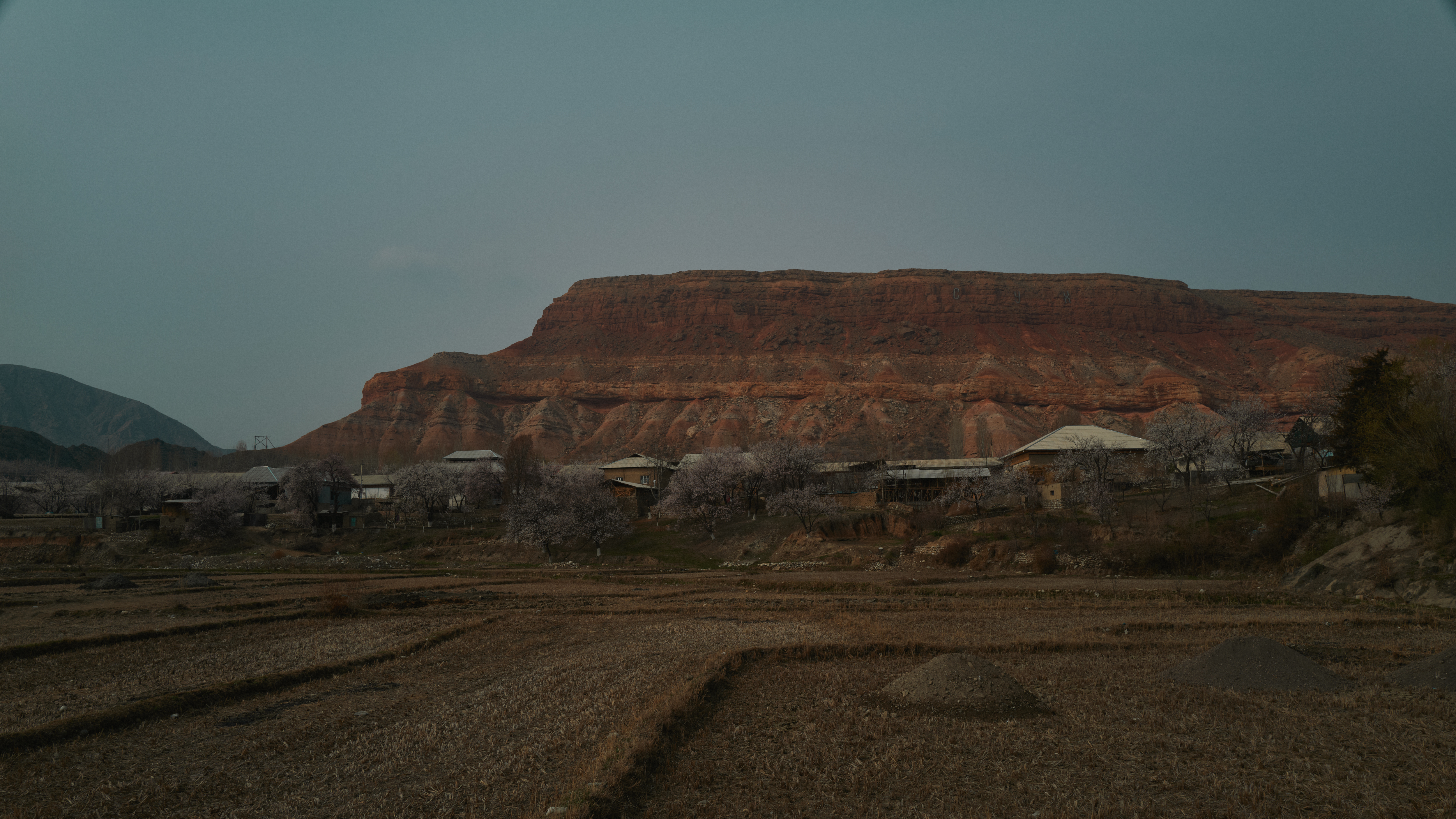
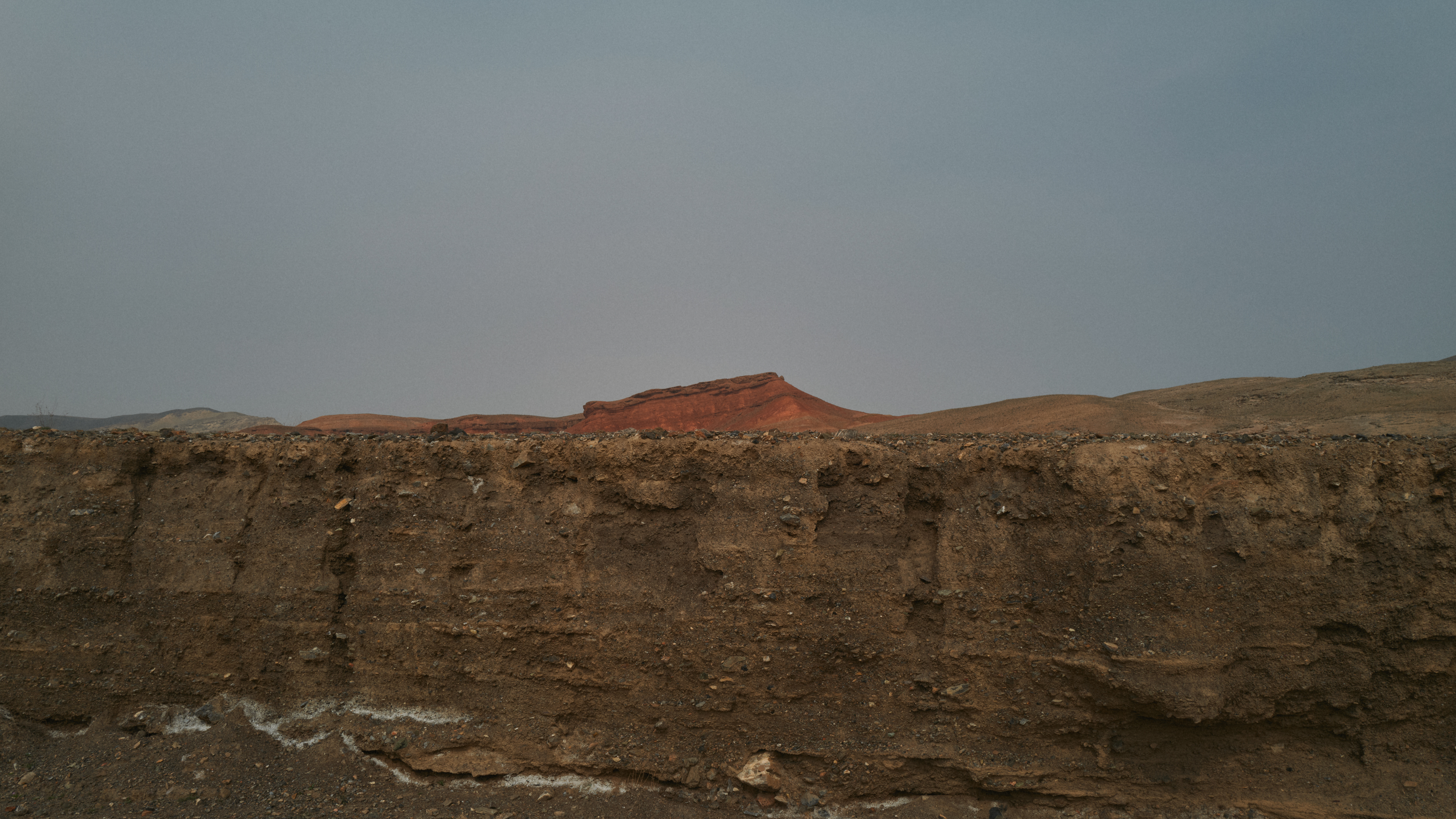
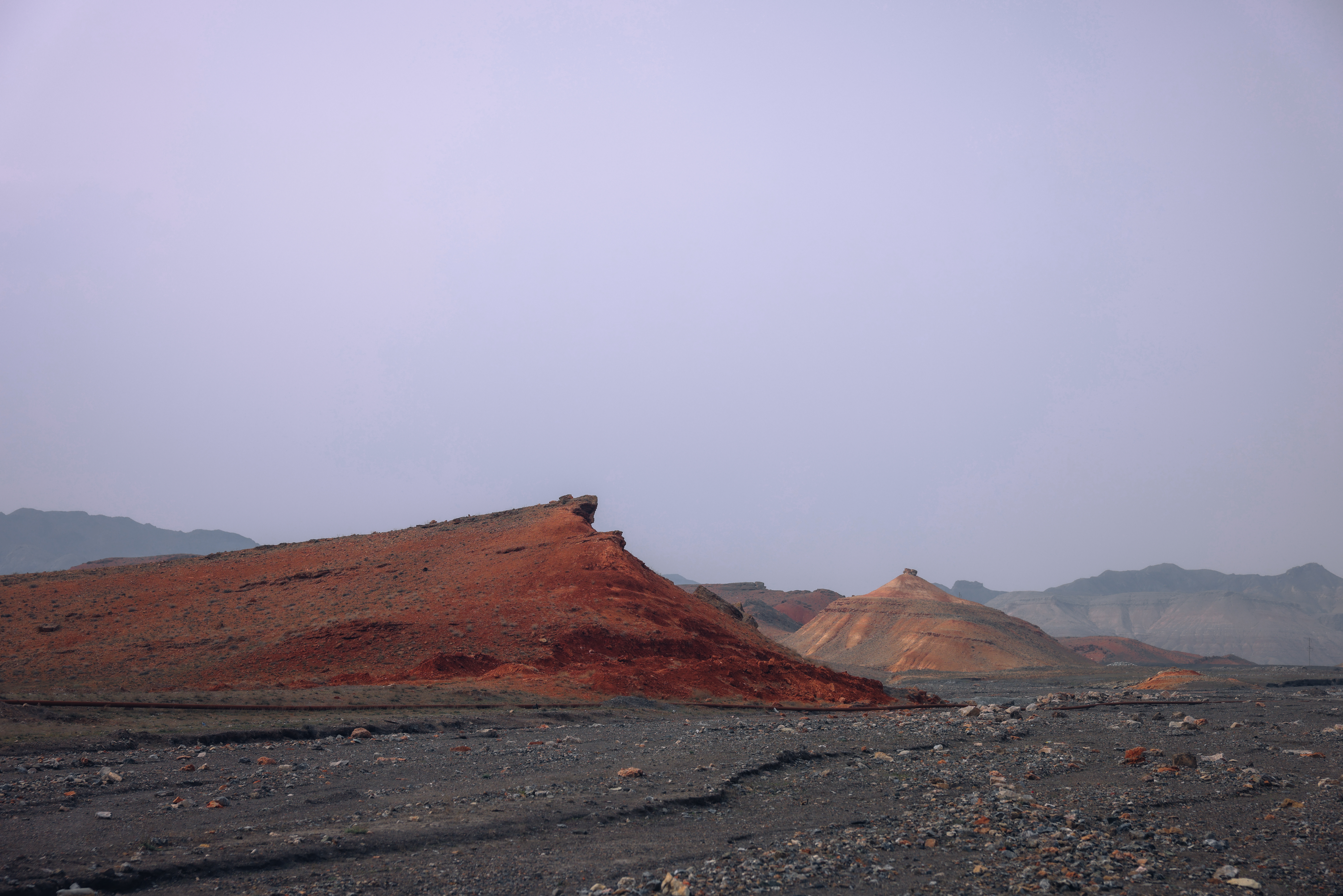
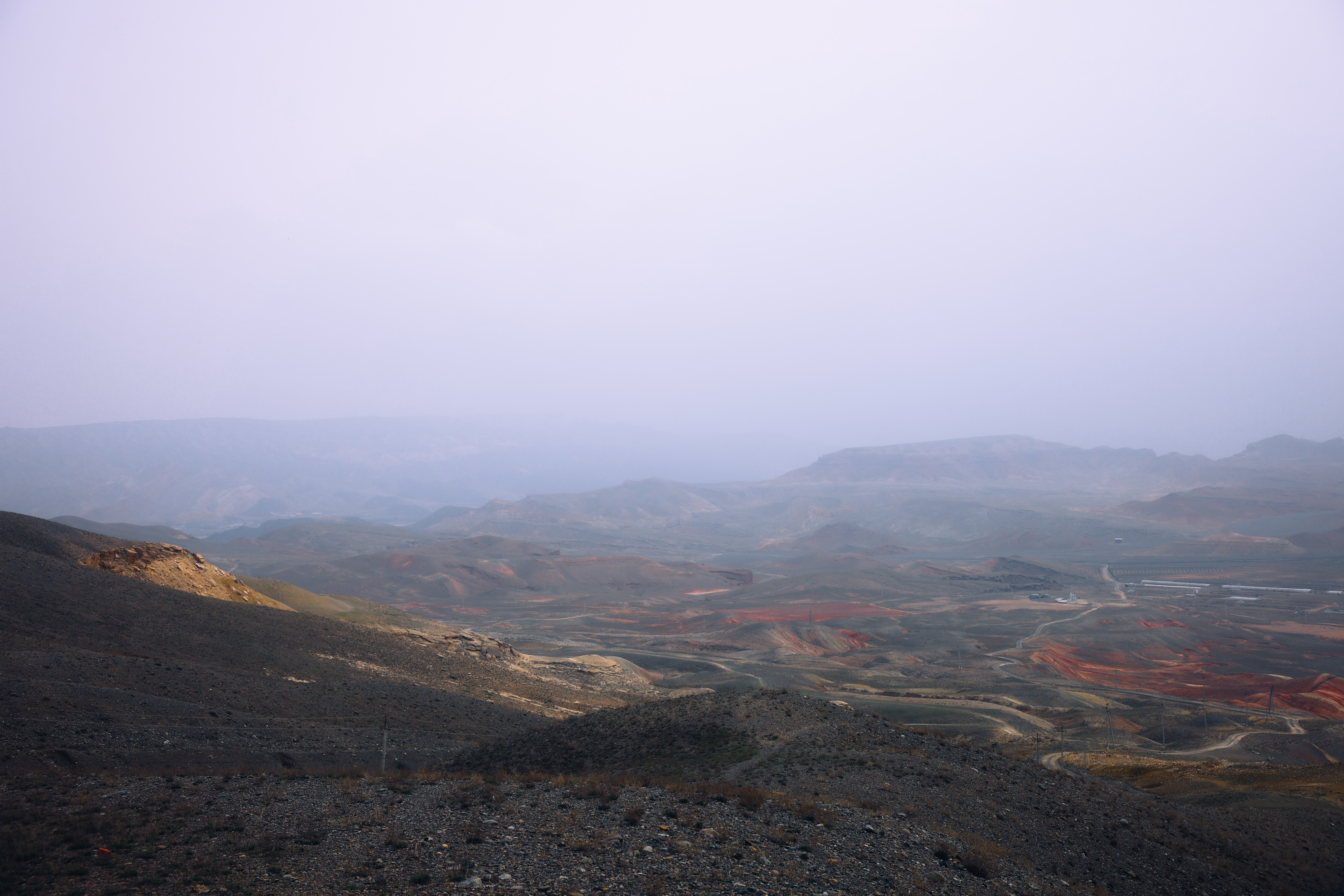

Control over the water resources of the Sokh River has become one of the most sensitive points of tension in interstate relations, as the schedules for releasing and drawing water for field irrigation directly affect the economic stability of both the exclave itself and the surrounding regions. Life within the exclave has given rise to a unique psychological phenomenon — that of existing within a ring, where checkpoints and strict quotas have become an everyday reality for its inhabitants. The response to these rigid constraints has been large-scale labour emigration.
In the contemporary period, the state development strategy for the exclave, being implemented throughout the 2020s, is directed towards overcoming transport isolation and modernising the region's water management structures and infrastructure. Border corridors have been opened and simplified, new transport routes have been launched, and modern water-saving technologies are being introduced, gradually alleviating the chronic shortage of water resources.
At the same time, the region continues to experience a shortage of available arable land, and the local labour market remains in a state of transformation — a situation that keeps the outflow of young people seeking work abroad very much a pressing concern.
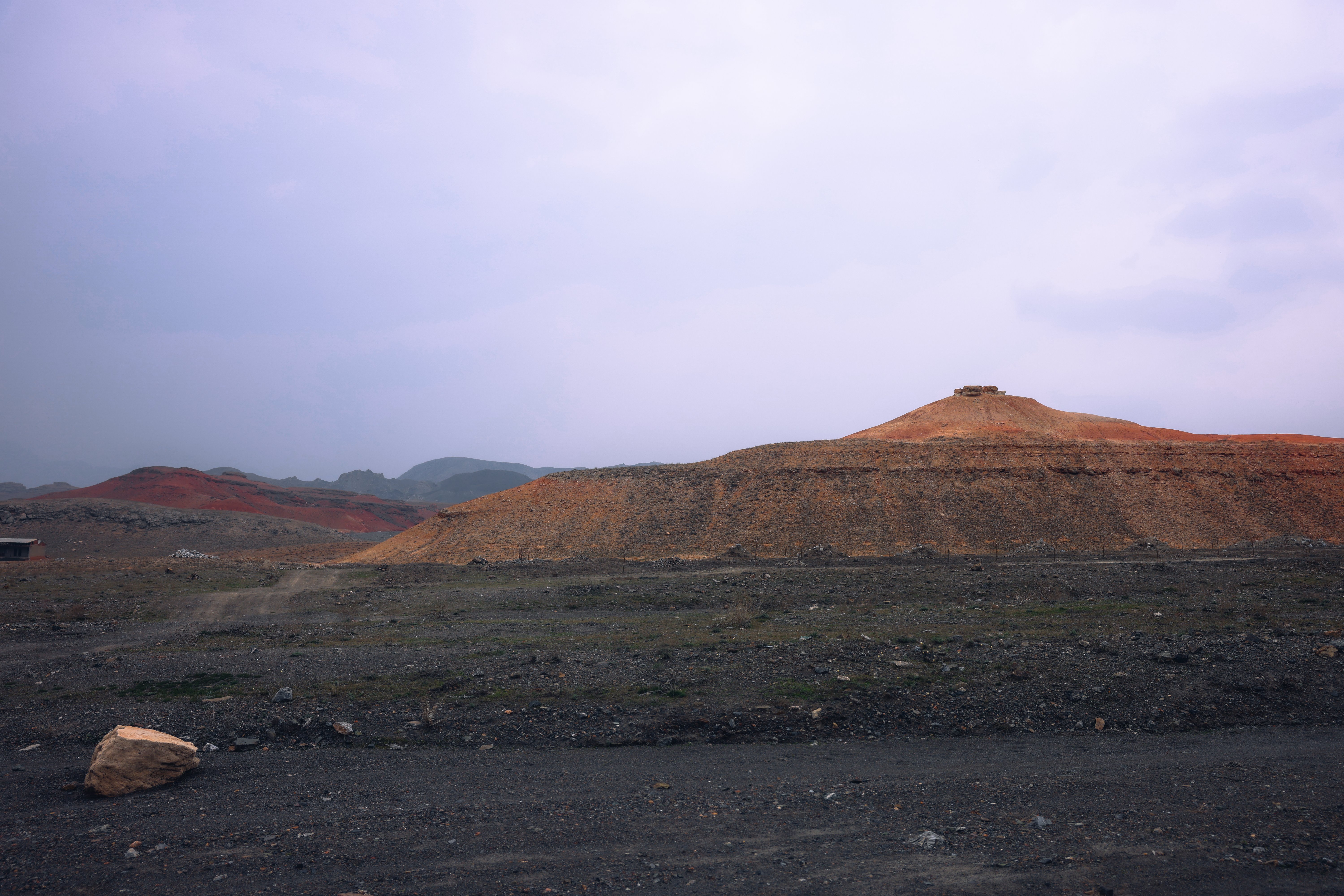 Photo: Ildar Sadykov
The three-thousand-year history of the Sokh oasis reveals a direct dependence of its economic way of life on hydrological factors and successive waves of migration. The transition from the ancient transit trade of the Great Silk Road to the Soviet irrigation system, and thence to contemporary water-saving technologies, demonstrates that overcoming the spatial constraints of an enclave is achievable through infrastructural modernisation and the diversification of local production.
Territorial limitation within a confined space presents an impetus for developing a model of intensive growth — one applied the world over in conditions of acute land scarcity. The geographical boundaries of the exclave may well serve as a catalyst for the creation of a "smart" economy: precision agriculture built upon modernised terraces, closed-loop water management systems, alternative energy sources, and local intellectual hubs. In time, Sokh could become a ready-made template for resolving analogous territorial challenges across the wider region.
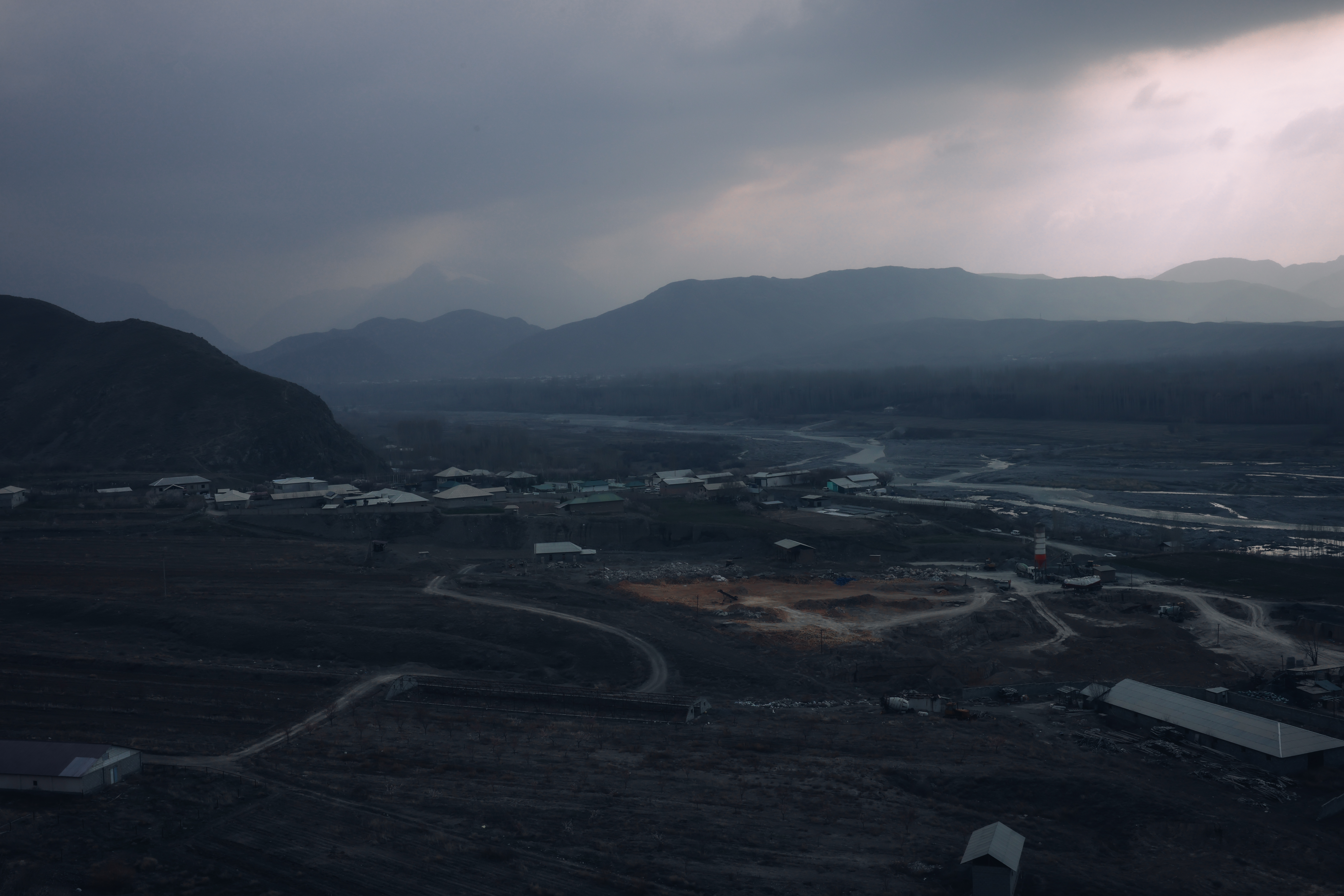 Photo: Ildar Sadykov
In this context, the ancient symbol of the region — the celebrated Sokh serpent — acquires an entirely new reading. For many years it could be perceived as a prophetic image of enclosed space, of life within a ring of borders. Yet in the twenty-first century, this artefact becomes a key to understanding the region anew: the enclosed space of the oasis is capable of accumulating inner energy, transforming what was once isolation into a self-sufficient force.
Read also
 Places
The Second Heart of Tashkent: A Photo Essay
Ildar Sadykov, Maria Maksimycheva
 Places
Red Earth, Concrete and Sacred Graves: A Photo Essay
Ildar Sadykov, Maria Maksimycheva
 Places
Craftsmanship, Sanctity and Halva: Portraits of Kokand's Iconic Jami Monument — photo essay
Ildar Sadykov, Maria Maksimycheva, Sergey Pogosyan
Newsletter
A letter from the HD editors
Once a week, we send the best stories, events, and cultural discoveries from Central Asia.