Architecture & Urban Environment
Master Plan: How to Design a City Before It Is Built
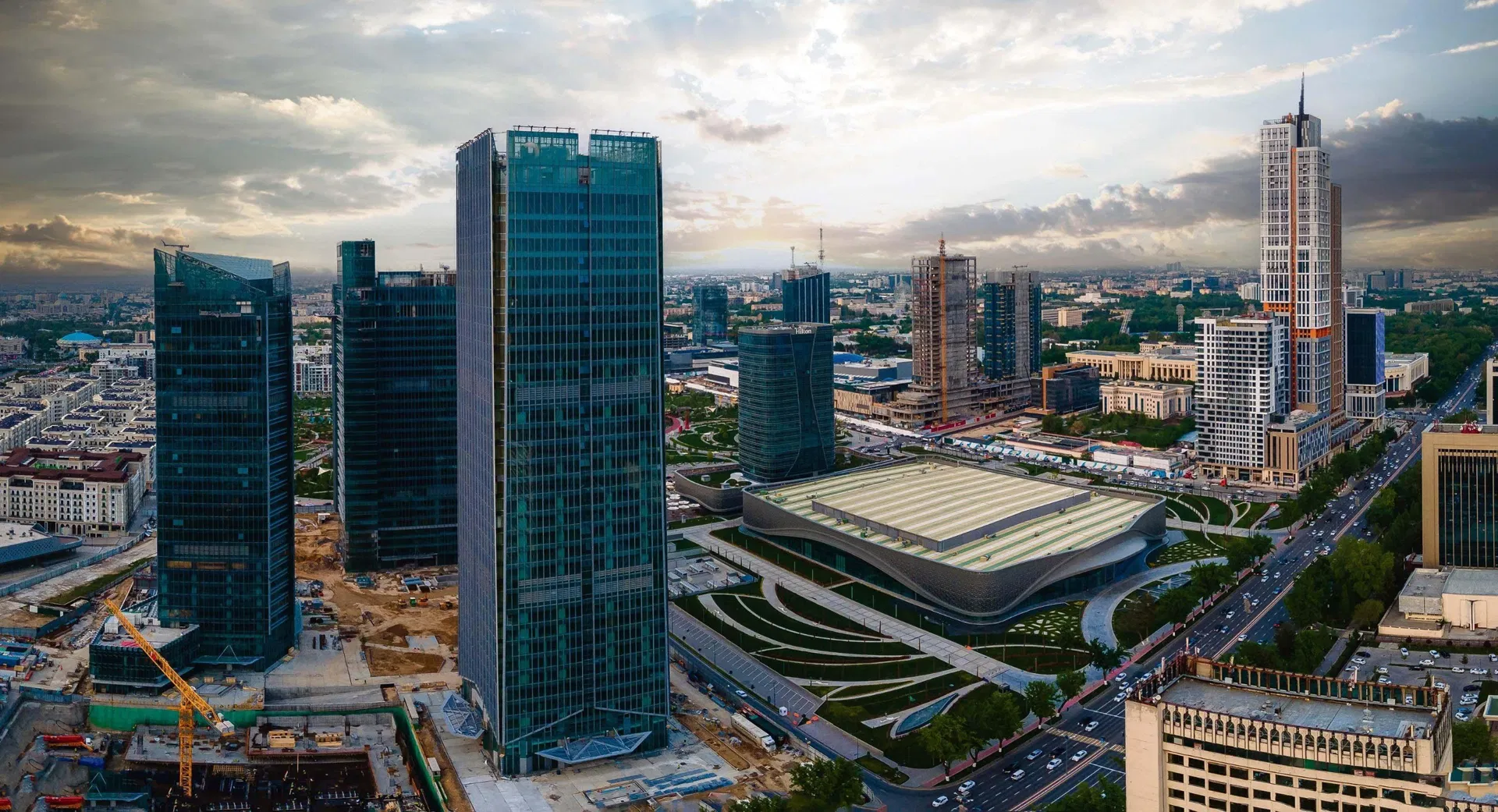
Humanity has travelled the path from an absence of regulation — with cities sprawling organically and without restraint — to rigid standardisation, and at some point it became clear that the truly comfortable city lies somewhere in the middle of that spectrum of requirements. The master plan is, in the broadest sense, an attempt to find that golden mean: a document that neither dictates requirements down to the last brick nor leaves development entirely to its own devices.
Why This Deserves Our Attention Today
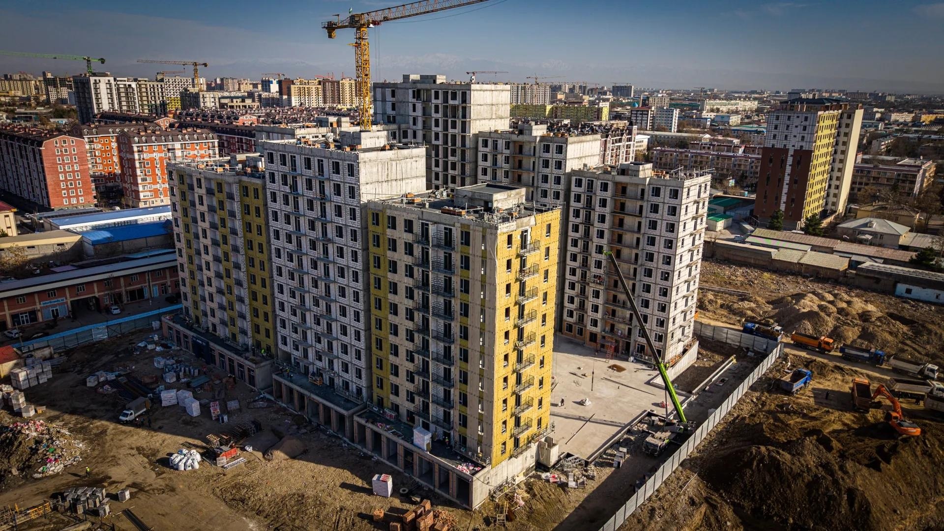
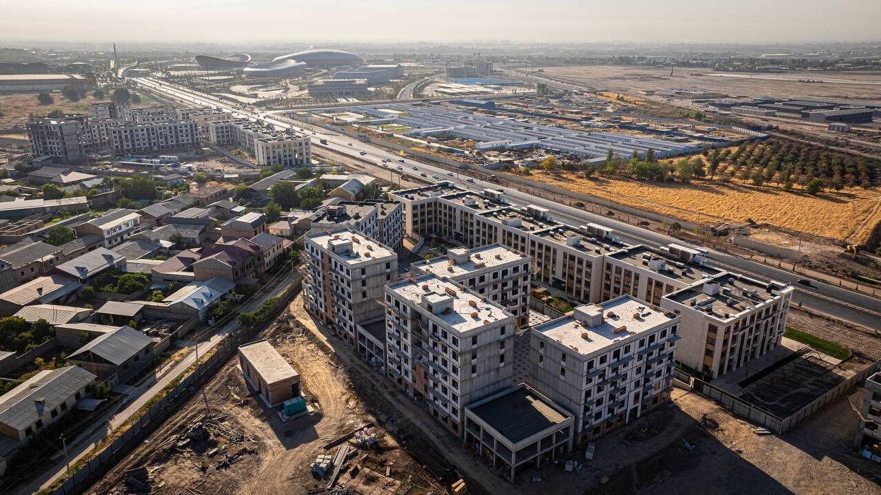
Uzbekistan is today one of the few countries where urban development is taking place not on paper but quite literally in open fields. The pace of construction across the republic is steadily accelerating, the market is growing vigorously, and the construction sector has become one of the principal drivers of the national economy. The flagship precedent-setting project is the development of Tashkent's periphery — the new city of New Tashkent. Twenty thousand hectares to the east of the capital, a projected population of over two million, and the first phase of construction covering six thousand hectares is already under way. The pace of development and the objectives set before the Ministry of Construction and the New Tashkent directorate are colossal: ambitious not only on account of the cutting-edge architecture, the complex engineering of the project, and the extremely compressed timelines, but also in the very nature of the undertaking — to create a new capital from scratch.
Greenfield projects of this scale are governed by one fundamental rule: errors in the planning structure cannot be corrected after the fact. A poorly conceived urban block endures for fifty years or more, and the transport framework established at the outset shapes the driving habits and behaviour of hundreds of thousands of people behind the wheel for decades to come.
The master plan is the instrument that, in international practice, governs the stage of planning and conceiving comfortable urban infrastructure — one that both reflects the principles of local culture and ways of life and incorporates solutions adaptable to the changes of the future, accounting for a variety of objectives and the evolving needs of the population. A great many unresolved questions and disputes surround this document: it is frequently confused with a city's general development plan, reduced to visualisations and attractive images of the future, or dismissed as paper architecture — a superfluous document that devours time and money. In this article, we shall explore the foundational concept of master planning: what this document actually is, what it comprises, and where it is applied in practice.
What Is a Master Plan
A master plan is an instrument of long-term strategic planning that defines the concept for the future development of a territory. It is a comprehensive document, encompassing not only architectural and planning decisions but also economic, social, environmental, and governance considerations.
Its principal advantage lies in its capacity to model the most preferable development scenario with flexibility. Not the only conceivable scenario, but the preferred one — selected from several distinct alternatives, with justification and explanation. The document strikes a balance between development opportunities and constraints: urban planning, infrastructural, cultural-historical, environmental, and property indicators are all coherently integrated into the document's framework.
The second function of the master plan is the balancing of interests. Every territory has its residents, its businesses, its authorities, and its investors, and its future depends on the engagement of all stakeholders. The master plan is, arguably, the only document within the urban planning sphere where these interests can be laid on a single table, where their contradictions become visible, and where they can ultimately be brought to a common denominator.
The third function is that of a roadmap: a long-term schedule comprising a sequence of implementation steps arranged according to priorities, timelines, and an assessment of effectiveness in terms of projected expenditure and anticipated outcomes.
A supplementary block that integrates naturally here is the anticipated effects of implementation: as individual phases of work are completed, it becomes possible to track the dynamics of positive or negative developments, as well as quantitative and qualitative indicators, from which it becomes clear whether the original vision has succeeded, whether implementation may continue, or whether certain aspects of the master plan require adjustment in order to improve outcomes in the future.
The Master Plan and the General Plan: Neither Rivals nor Duplicates
This distinction merits separate consideration, for it is precisely here that confusion most frequently arises and the role of the master plan as an instrument becomes undervalued.
The general plan is a directive and rather rigid document. It is oriented towards land use, construction, and territorial planning, serves as the foundation for subsequent urban planning documentation, and answers the questions of "what?", "where?", and "in what volume will construction take place within a given period?" In Tashkent, for instance, a new general plan was recently approved, with a development strategy extending to 2045. Its strict legal character is simultaneously its strength and its limitation: the general plan does not allow for the comparison of development scenarios or the establishment of task priorities; its approval procedures preclude any flexibility; and its professional register renders it virtually inaccessible to general readers without specialist knowledge of the industry.
The master plan is advisory in character and is distinguished by the level of detail it brings to decisions and development strategies across various industry sectors. It addresses broader questions: the principles by which a territory will develop, how it will change over five, ten, or fifteen years, and what measures will be required to achieve this. It contains a substantial volume of clear visual information, making the document comprehensible to all stakeholders rather than specialists alone. Its flexibility allows the strategy to be updated in response to shifting external factors. Urban planning documentation is adjusted on the basis of the master plan — a complex, lengthy, and multi-stage process, which is why the roadmap frequently includes provisions for amendments to the regulatory and legal framework.
Once the master plan has been approved, it is incorporated into the city's regulatory and legal documentation, into individual sectoral development documents, into specific land use and construction regulations, and, of course, into the general plan. The master plan is, in effect, divided into its constituent parts and becomes an appendix to a considerable number of official documents.
The Composition of a Master Plan
A comprehensive approach to master planning comprises major sectoral directions relevant to a specific location and a specific country. The principal ones are as follows:
- architectural and planning solutions;
- economics;
- sociocultural solutions;
- managerial solutions.
Within each direction there is its own set of working blocks:
- comprehensive territorial analysis;
- development vision and project mission;
- urban planning context;
- functional zoning and programming;
- transport and cycling-pedestrian framework;
- water and green framework;
- engineering infrastructure;
- public and recreational framework;
- volumetric-spatial regulations;
- development massing;
- technical and economic indicators and the project's financial model;
- implementation and financing mechanisms;
- implementation roadmap;
- performance indicator system.
A careful study of such a thoroughly elaborated list of development objectives makes it clear that striking renders represent only a minor portion of the work. Three quarters of a master plan consist of economics, transport modelling, engineering, architecture, sociocultural programming, and managerial and development logic. Visualisations are merely a tool for communication and for immersing audiences in the context. And, naturally, given the document's considerable volume, it is generally confidential in character, with the small visual portion — the imagery — made available for the wider public.
The document rests upon several pillars: leading global practices and precedents, national directions of socio-economic development, and the genuine needs and demands of stakeholders. The absence of any one of the three renders it unviable, much like a stool with only two legs: without the first, the design becomes outdated; without the second, it becomes meaningless; without the third, it becomes unrealisable or unwanted.
How to measure a master plan
To evaluate master plan decisions, a system of performance indicators — both qualitative and quantitative — is developed for each area of development. An example from the transport block: a quantitative indicator might be a zero rate of fatal road accidents. In that case, all decisions — from street profiles to junction configurations — serve that objective, and after several years data are collected and a review is conducted to assess whether road fatalities are declining.
Economic effectiveness is achieved through the quality of the environment and is assessed by means of growth in tourist flows, the development of business projects, and tax revenues to the local budget. Environmental improvements are measured by air quality, localised temperature reduction, the number of newly planted trees, and other indicators.
The methodology is established in advance during the master plan's preparation: indicators are defined prior to implementation, baseline figures are recorded before construction begins, and measurements are taken immediately afterwards and tracked dynamically over the course of one or several years. These outcomes are also readily understood by residents who are dissatisfied with construction taking place outside their windows or near their neighbourhood and who doubt the value of the development underway — the availability of evidence-based figures immediately shifts the tone of communication.

The pitfalls of master planning
The actual work of planning consists of dozens of conflicts between different user groups, each of which is resolved either in favour of environmental quality or in favour of habits — sometimes outdated ones that do not serve the public good. For instance, urban planning practices at the level of expert urbanists frequently run counter to development logic, which is fairly straightforward, process-driven, and governed by clear financial obligations and expectations. Although today's major developers have learned to incorporate contemporary approaches to creating comfortable urban environments and keep abreast of emerging trends. Below are several examples of such conflicts.
Monotyopological housing. An entire territory may be built out using a single section type, with blocks differing only in façade colour and a variation of two storeys, without any meaningful distinction. This is how microdistrict block warrens are created — developments that economists have long predicted will face a lack of demand and eventual obsolescence. To mitigate these conflicts, developers are broadening their typological range: urban villas, towers, terraced housing, hybrid buildings, podium buildings, and mixed-use developments. The application of varied typologies within a single block produces an attractive skyline, lends individuality to each quarter, and ensures that streets remain distinct from one another. Towers positioned at corners, in addition to their economic function of distributing residential floor area, serve as visual landmarks — an unspoken navigational system for orienting oneself within the urban fabric.
Ground floors. In practice — particularly in the early 2020s — territorial development specialists encountered fierce resistance to the idea of commercial ground floors: all retail was relocated to separate shopping centres, as had been the convention at the turn of the twenty-first century. The reason proved to be not ideological but technological: the established production of sectional residential buildings does not accommodate floor-to-ceiling heights exceeding three metres, the engagement of specialist contractors was ruled out, and organising commercial activity within low-ceiling spaces was deemed impossible.
The consequences of abandoning an active street frontage are well known: the absence of street life and social oversight, and therefore of safety; the lack of everyday amenities within walking distance; and the concentration of all retail in shopping centres, which demand vast car parks. Moreover, as commerce has migrated online, shopping centres have suffered sharp losses owing to dwindling footfall. The compromise in this conflict lies in introducing commercial ground floors along active streets and at intersections, while retaining residential use elsewhere. Today, it is evident that the majority of developers have adapted to the model of commercial ground floors and have reconfigured their production processes to accommodate the creation of larger units.
Parking. Fifteen years ago, developers were categorically opposed to underground car parks and multi-storey structures in non-business-class residential developments, favouring surface parking instead — vast concrete expanses spread across entire construction sites. As the pace of building and land development accelerated, it became apparent to the authorities that surface car parks were, in the long run, considerably more costly, since the land was being used far too inefficiently. Parking was redistributed along the road network, removed from courtyards (the so-called "Car-Free Courtyard" concept), and standardised multi-storey structures and underground car parks began to appear. Each project calls for its own particular combination.
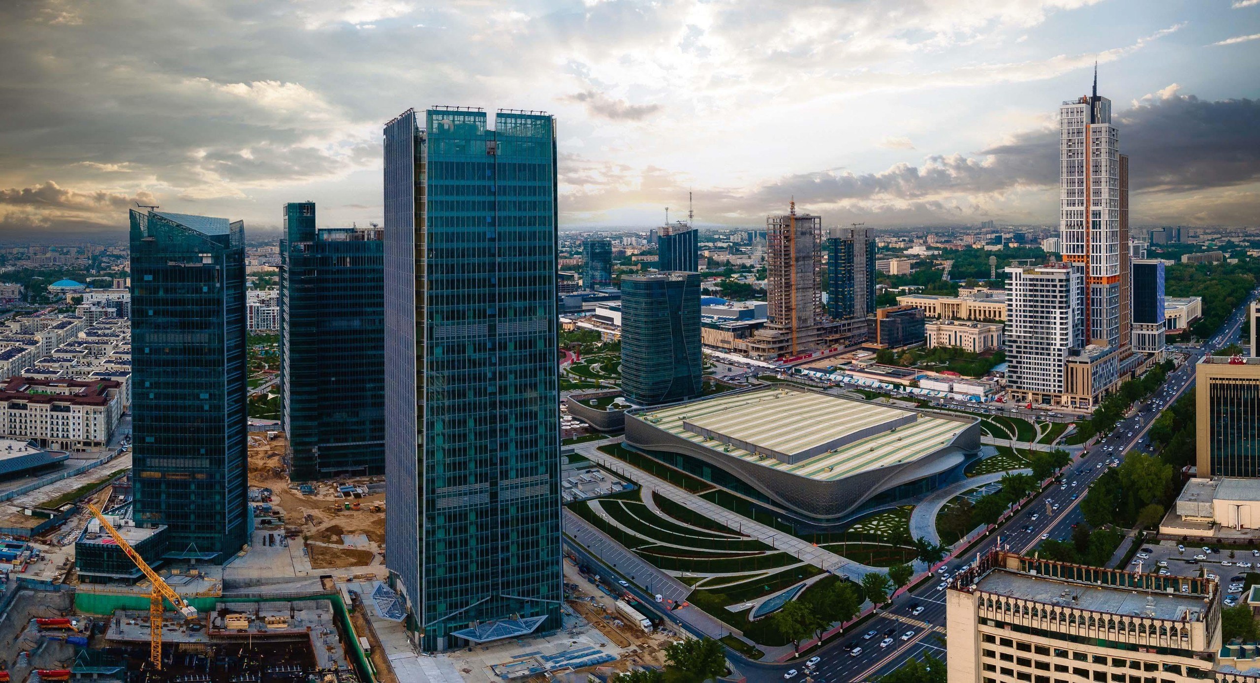
Street width. There is a widespread misconception that the wider the road, the less congestion there will be — and that traffic gridlock can only be resolved by constructing new, broad arterial highways. Yet it has already been demonstrated that an excessive width of local streets (50–70 metres) — effectively the profile of a six-lane motorway — creates an environment that is out of human scale and runs counter to the principle of planning compactness. More importantly, it offers no protection against future traffic problems.
A separate issue is the density of the street network: a sparse grid (300 by 300 metres or more) is inconvenient for both pedestrians and motorists, forcing them to cover unnecessary distances every day. A finer network provides permeability across the area, an even distribution of flows, traffic calming at intersections, shorter routes, and reduced CO2 emissions. Contemporary master plans take these factors into account and develop the transport framework in close collaboration with specialist professionals who calculate future traffic volumes, model overload scenarios at complex transport nodes, work proactively, and design in such a way as to minimise congestion upon implementation.
The range of potential conflicts is vast, and enumerating them makes clear that a master plan is not a portfolio of solutions divorced from the real needs of its users, but rather a resolved and codified protocol of disagreements. It translates conversations about "beautiful or ugly" and "convenient or inconvenient" into a set of parameters that can be verified, discussed, agreed upon, or replaced with a more workable format.
Accounting for climate as a concern for the future, rather than a conversation about greenery
For Uzbekistan, climate is the central narrative of territorial development. The struggle against heat has historically dictated its own rules of construction and urban planning: a grid oriented according to the cardinal directions, enclosed courtyard perimeters designed to create cool well-like yards, decorative lattice screens — panjara — serving as sun-breakers to prevent direct sunlight from entering interiors, light-coloured materials to guard against overheating, and much else besides.
Climate considerations are frequently perceived as a matter of landscaping: plant some trees and install a fountain. In reality, street-level temperature is determined first and foremost by the planning decisions made at the master plan stage, and only secondarily by greenery. Through the compact arrangement of blocks and buildings, it is possible to create cool wind-flow corridors, distribute shade intelligently, and orient materials with high thermal absorption towards the south. In other words, the compactness of a city block is a climatic instrument, not merely an economic one. This helps to transform the human experience within a development that is proportionate in scale.
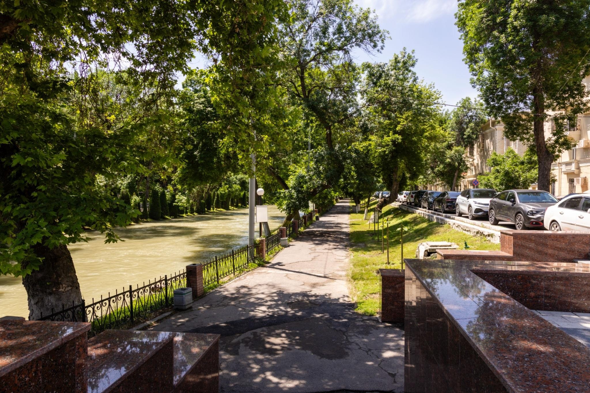
The parameters that influence the microclimate and are established specifically within the master plan and its associated strategies, guidelines, and design codes are as follows:
- the orientation of the planning grid in relation to prevailing winds and the sun's trajectory;
- block compactness and building depth;
- the ratio of building height to street width (H/W), the key parameter governing a street's self-shading capacity;
- street width and, consequently, the surface area of heated asphalt;
- the continuity of the green framework — shade must be connected, not fragmented into isolated patches;
- the integration of water infrastructure as part of the green system, rather than as a purely decorative feature.
In this respect, Tashkent is fortunate: it possesses its own climatic tradition, refined over centuries. Historically, the city was supplied with water through a system of ariks — not a piped network, but an urban structure of open channels: water determined where streets ran, where trees stood, and where shade formed. The hauz in the courtyard, the aivan as a shaded intermediate space between house and garden, the narrow passages of the mahalla's fine-grained structure, the clay construction with its high thermal inertia — all of these constitute a functioning system of passive cooling that deserves to be recognised as a successful precedent for contemporary design.
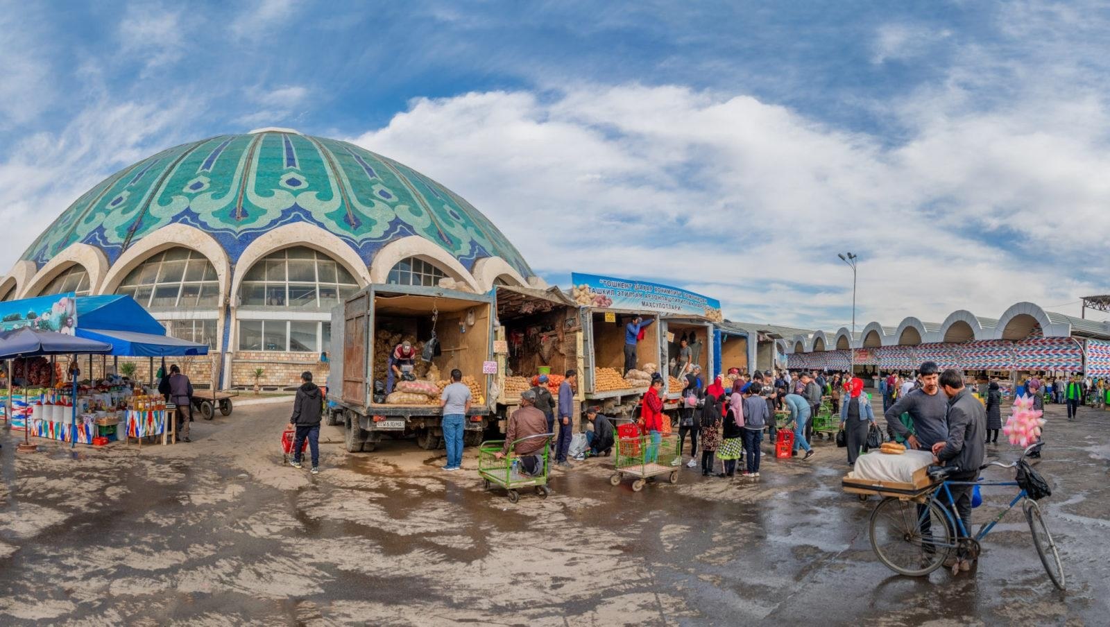
Even Soviet architecture here took its cues from context: the Navoi Theatre, designed by Shchusev, was framed by a park with a large ornamental pool-fountain that directly evoked the traditional hauz. Another example is the dome of the Chorsu Bazaar, with its panjara screens and form designed for passive cooling and natural ventilation.
In practice, one can delve into specific tactical interventions during the implementation of a master plan. For Tashkent, for instance, we compiled a matrix of such measures drawing on international practice — solutions that improve people's experience of heat here and now, without any need to redesign the city: shade, trees, pergolas, canopies, awnings, drinking fountains, light-coloured surfaces with high albedo, misting systems, water features, north-facing orientation of rest areas, the separation of daytime and evening usage scenarios for public spaces, photocatalytic concrete, and other elements.
A distinct principle that has entered the mainstream of global landscape design is the return to nature rather than greening: the restoration of native ecosystems in place of decorative urbanised spaces. In an arid zone, this is not an aesthetic choice but a matter of water consumption. Such principles may also be embedded at the level of master-planning frameworks, though their detailed elaboration falls to individual architectural, urban, and public realm design concepts and projects.
Conclusion
A master plan is frequently sold as the promise of an ideal future. Its true value, however, lies elsewhere: it represents the singular moment in the life of a territory when all stakeholders are engaged at the design stage.
The experience of the past fifteen years demonstrates that master plans are rarely realised in full and almost never literally — all of them are refined through subsequent, more detailed documents, and may shift the position of a park or a school by a small degree within a given planning unit. Yet the structural framework of the document, and the work undertaken throughout the process to reconcile the interests of all parties, endures.
New Tashkent has a rare opportunity: it begins with a blank slate in a country possessed of a remarkably strong urban planning tradition of its own. This is simultaneously a chance to build a city that responds to its climate and its culture not nominally but constructively, and a risk of producing yet another city whose prospects for settlement by new residents remain unpredictable. The difference between these outcomes is determined neither by budget nor by the names of the architects involved, but by the care and rigour with which a strategic vision is translated into parameters, and those parameters into binding rules of implementation. That, precisely, is the work of the master plan.
Read also
 Architecture & Urban Environment
Preserving a Building Is Not Enough: How Architectural Heritage Keeps a City Alive
Alfiya Kalmaganbetova
 Architecture & Urban Environment
The First Kurultai of Kazakhstan’s Builders and a New Logic for Development
Alfiya Kalmaganbetova
 Architecture & Urban Environment
Mistakes That Cost Developers Millions
Lyubov Safronova
Newsletter
A letter from the HD editors
Once a week, we send the best stories, events, and cultural discoveries from Central Asia.